The Hydrographic Transformation of Vienna
The Austrian capital's connection with the Danube is one of the most sophisticated examples of river engineering in the world. For centuries, unregulated alpine meltwater led to severe seasonal flooding throughout the Viennese basin. In the late 19th century and further perfected during the 1970s, the city constructed the New Danube (Neue Donau) relief channel alongside the artificial Danube Island (Donauinsel).
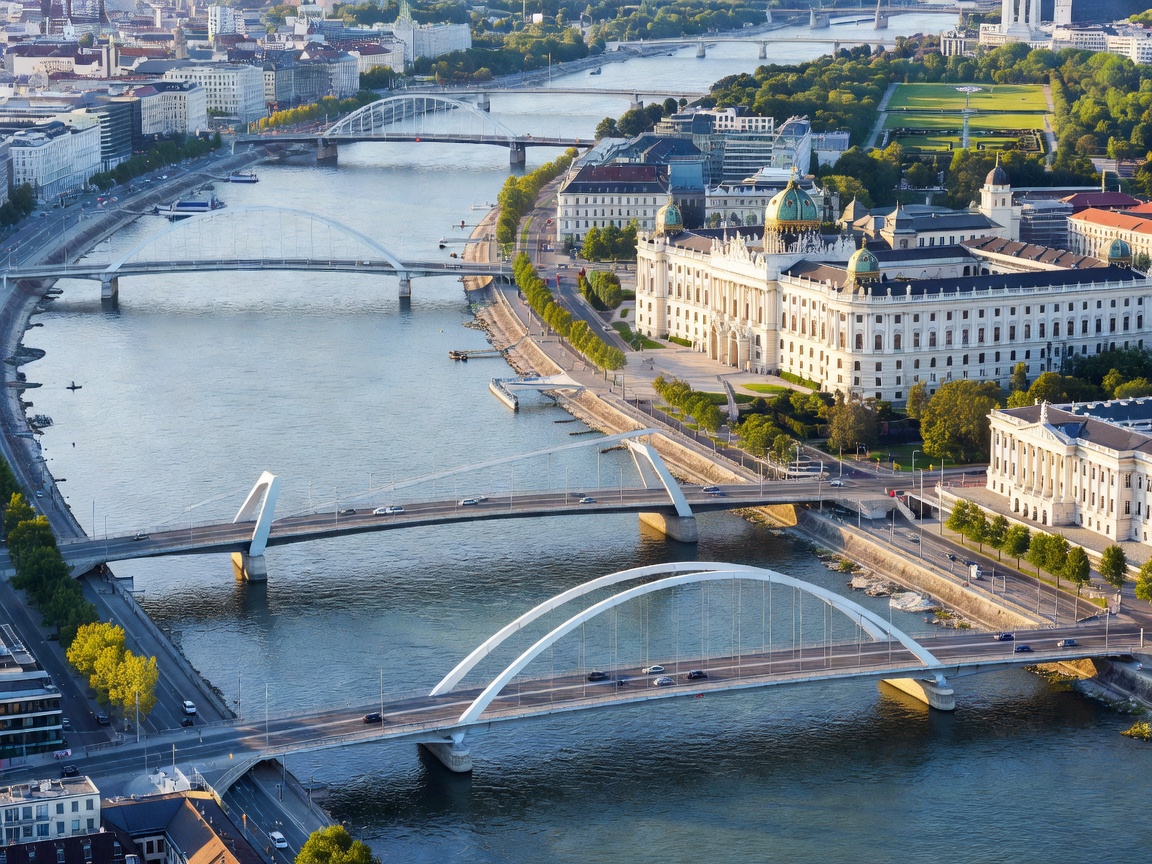
Technical Navigation Metrics: Vienna Sector
| Parameter | Specification | Operational Purpose |
|---|---|---|
| River Km Marker | 1,920 – 1,940 km | Main commercial international channel |
| Donauinsel Length | 21.1 km | Flood relief barrier & public biosphere |
| Lock Systems | Freudenau Hydropower Lock | River elevation control & 1,000 GWh power output |
| Commercial Draft Depth | 2.70 m minimum guaranteed | Regulated for standard Rhine-Main-Danube freight |
The Wachau Valley UNESCO Corridor
Just 70 kilometers upstream from Vienna lies the celebrated Wachau Cultural Landscape. Carved between Melk and Krems an der Donau, this 36-kilometer river section showcases baroque Benedictine architecture alongside steeply terraced Riesling and Grüner Veltliner vineyards. The thermal heat stored by the Danube water regulates temperature variations across the steep granite hillsides, fostering one of Europe's premier micro-terroirs.
Key Ports of Call along the Upper Austrian Stretch
- Melk Abbey (Stift Melk): A towering Baroque complex presiding over river kilometer 2,036.
- Dürnstein: Historic medieval fortress where King Richard the Lionheart was held captive in 1192.
- Reichsbrücke & Marina Wien: Central docking hub for passenger river cruisers and international longships.
Modern travelers can navigate these tranquil stretches via scheduled hydrofoils (Twin City Liner to Bratislava) or hotel-class river liners equipped with adjustable wheelhouses designed to clear low historical spans during seasonal high-water periods.